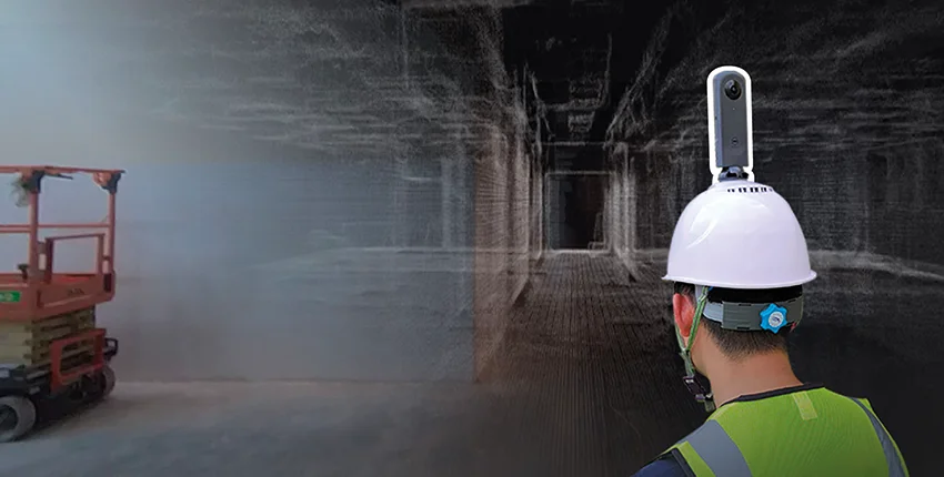
Accurate, visual, and spatial documentation from site to desktop
This service enables consistent, analyzable, and repeatable site monitoring for large-scale construction projects, infrastructure development, and land management operations. By leveraging drone-based aerial imagery and advanced photogrammetry techniques, we periodically capture and process site data to deliver project-specific spatial analysis and visual reporting.
With Photogrammetric Site Monitoring, you can:
Service outputs include orthophotos, point clouds, and interactive web-based viewers, all of which can be integrated into your existing BIM and GIS ecosystems.
This service is especially suited for::
Construction and contracting firms, infrastructure and transportation projects, real estate developers, public authorities, and consultancy firms